
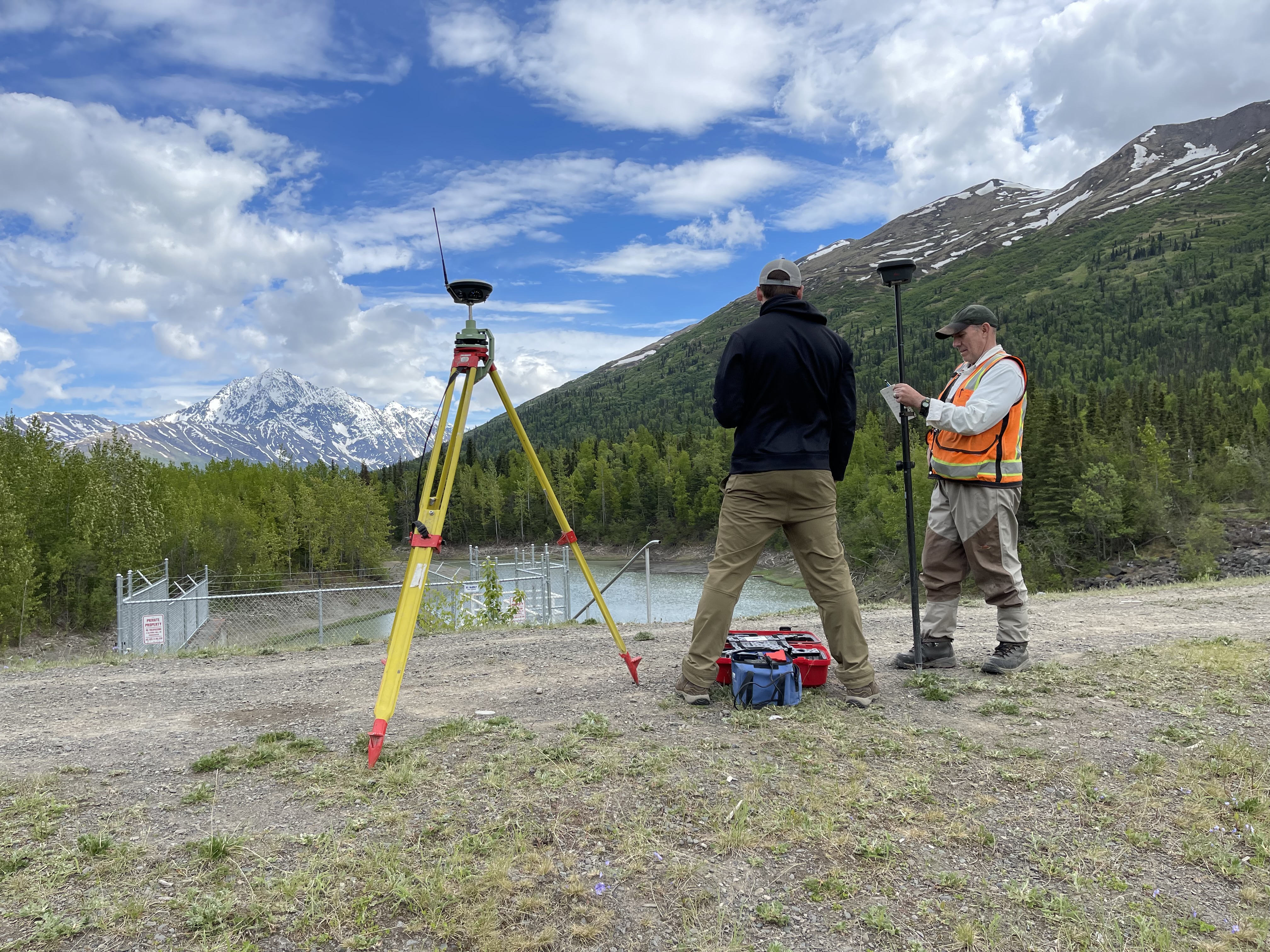
This thought leadership piece explores how modern GNSS surveying technologies—specifically RTK, RTN, and RTX—are reshaping data collection for environmental and water resource projects, while emphasizing that precision depends as much on planning and expertise as it does on technology. It explains the differences between these systems, their strengths and limitations in real-world field conditions, and the importance of factors such as connectivity, terrain, and satellite availability. The article also highlights best practices for successful surveying, including defining spatial reference systems, establishing control points, and preparing for environmental and logistical challenges. Through practical examples, it demonstrates how these tools can improve project outcomes while also underscoring the risks and hidden costs of inexperienced use. Ultimately, the piece reinforces that accurate data collection is only the first step—true value comes from proper interpretation, quality control, and a balanced approach that combines advanced technology with field knowledge and sound decision-making.
👉 Please click to learn more.